Carreta Road – 1846
Author: George Hruby


What we know is that on December 6, 1846, General Kearny and his soldiers are following the Carreta Road down into the San Pasqual Valley on this fateful morning from Santa Ysabel. This road serves as a main highway, primarily for trade and commerce, connecting the Indian Villages between Santa Ysabel, San Pasqual, and Pala, with the main roads connecting then to either south, towards the San Diego Mission or north, to Mission San Luis Rey and further up to Los Angeles.
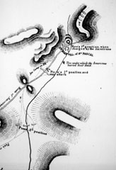
On Emory’s sketch of the battle on December 6, he shows them following this road down San Pasqual Hill and into the valley. He shows the road making a flowing trajectory from the base of San Pasqual Hill, gently crossing the valley floor in a westerly direction and bearing southward, going right by the edge of “the point” or where today sits the San Pasqual Battlefield Monument Park off of Highway 78 at Santa Ysabel Creek Road. As you can see, the line flows, almost in a straight direction.

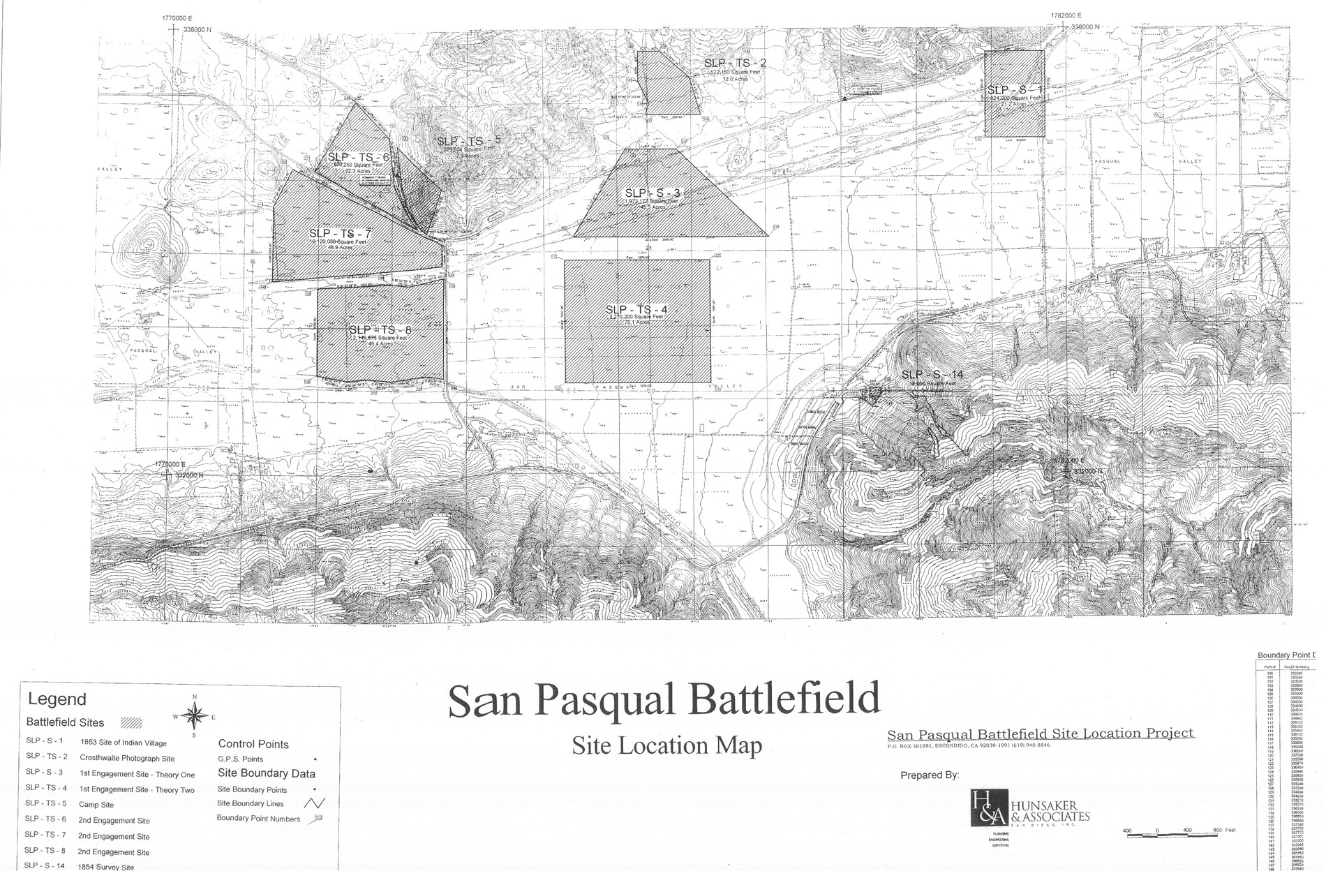
Bibb’s depiction of the carreta road shows it coming off of San Pasqual Hill and proceeding directly west, straight across the valley floor into site SLP-S-3. From there, he shows the road making a ninety-degree turn to the left and bearing southward out toward the point. However, review of Emory’s sketch clearly fails to show any ninety-degree turn in this engagement. Indeed, Emory shows directional changes throughout this sketch and it is felt by this office that he most assuredly would show a directional change as abrupt as ninety-degrees, especially in a battle engagement. Yet, it is not there.
The SPBSLP then returned back to the survey notes taken in 1853 by the government surveyor. Here again are his field notes as he shoots a heading of the carreta road ascending San Pasqual Hill:
“ Road from San Diego to Santa Ysabel ascends the mountain, course S.E. & N.W.
40.00 Set ¼ Sec.post Deposited 6 stones 3×3. Raised mound with trench as per instructions.
80.00 Set post corner of Secs. 3×4. Deposited rock 5×5. Raised mound with trench as per instructions. E ½ mountainous 3rd rate W ½ level 1st rate. ”
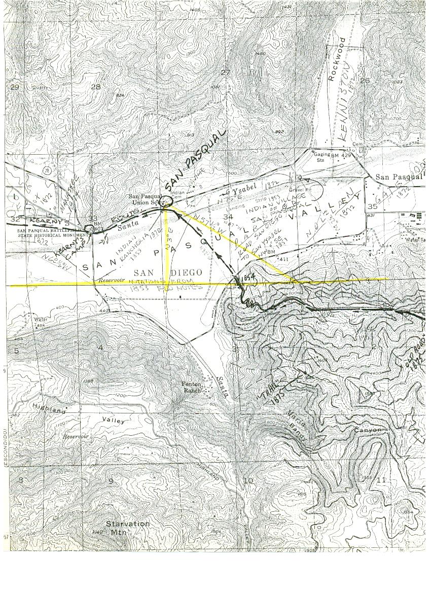
SPBSLP Survey-Engineers, Jack Hill, Richard Hill, and George Lounsbury, while standing right where the government surveyor stood in 1853 in order to acquire these headings, shot a bearing on the route that the main road took across the San Pasqual Valley floor. This was their result.

The first thing noticed is how similar in direction and travel this route resembles almost exactly what Emory sketched. Remember, this road was a main highway in its day and very important with trade and commerce. As it passed by each Indian Village, there would have been at least one or more trails leading from the Carreta Road, directly into the village. The SPBSLP believes this is the original route of the Carreta Road through San Pasqual Valley in 1846.
